£250.00
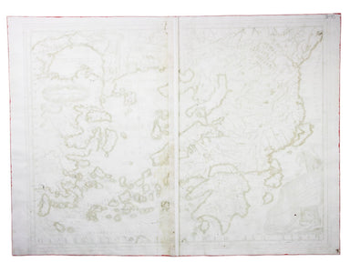
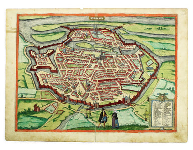
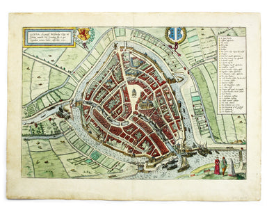
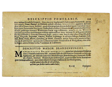
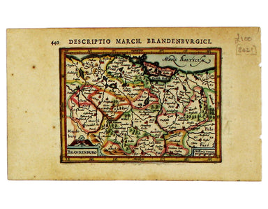
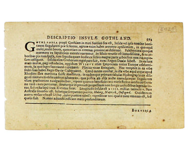
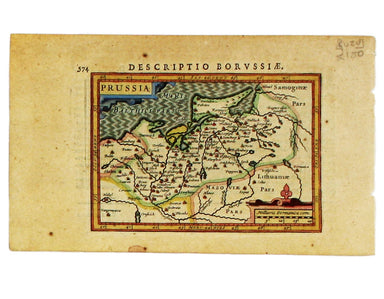
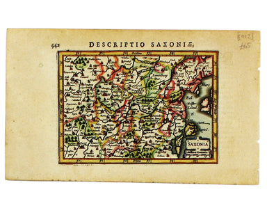
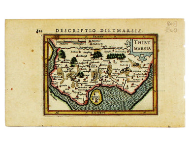
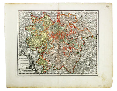
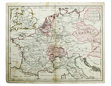
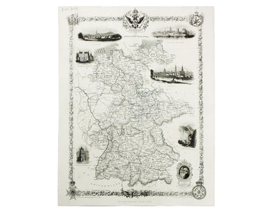
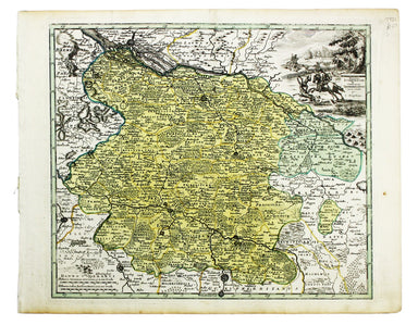
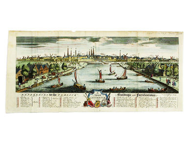
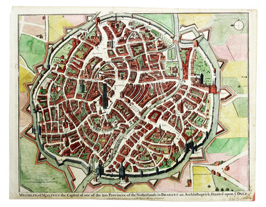
Hondius’ Map of Lower Saxony & Mecklenburg
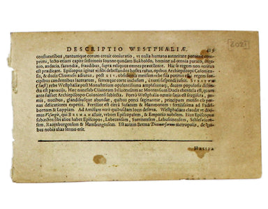
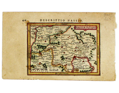
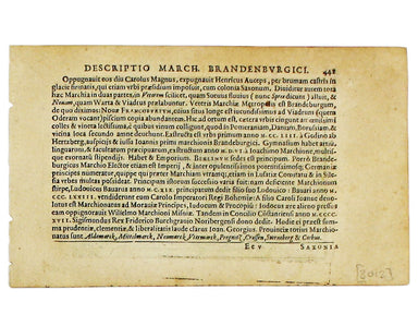
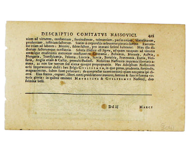
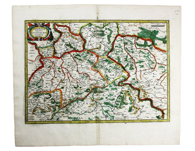
Saxonia Inferior et Mecklenborg Duc The original Mercator Atlas (parts published from 1585 onwards) was not a commercial success; the copper printi...
View full details