£250.00
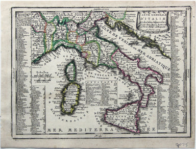
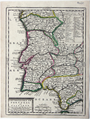
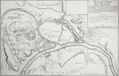
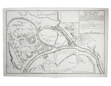
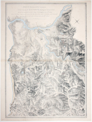
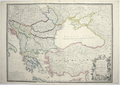
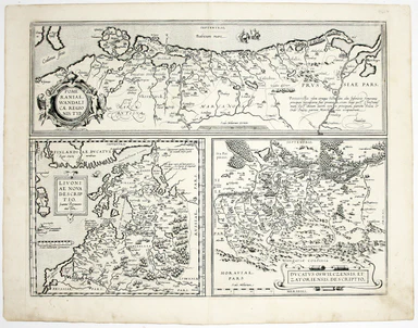
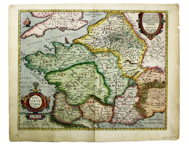
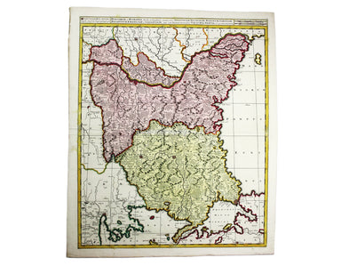
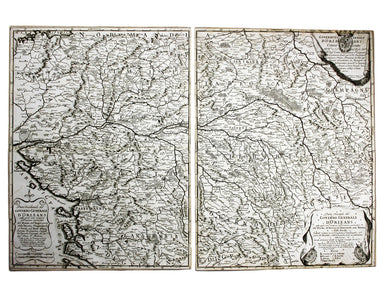
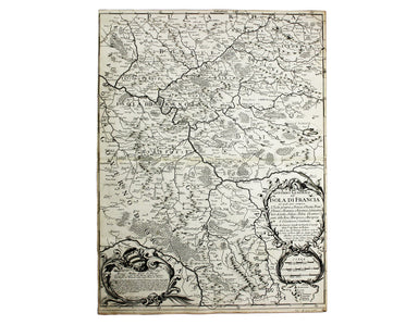
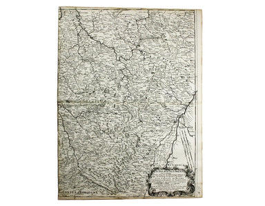
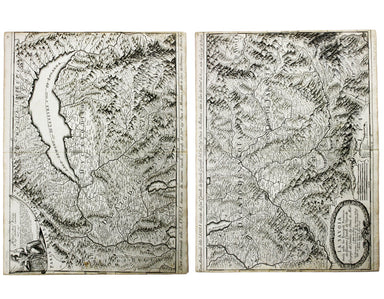
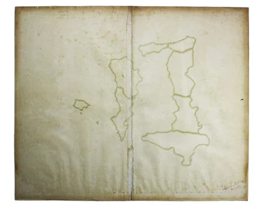
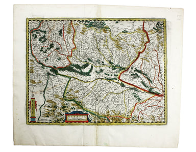
Blaeu’s Map of Elba
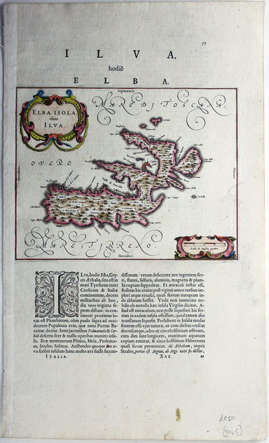
This is the Tuscan island of Elba, a map newly added to the ‘Atlas Novus’ in 1640. Koeman records that it was first published in the French text ed...
View full details