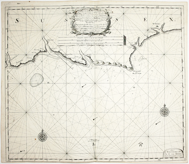
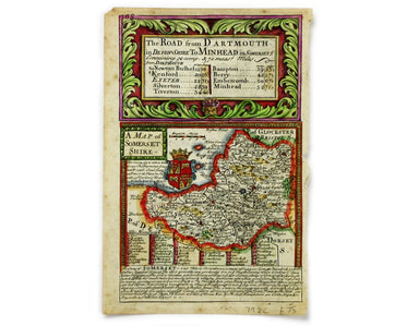
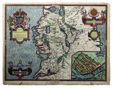
£150.00
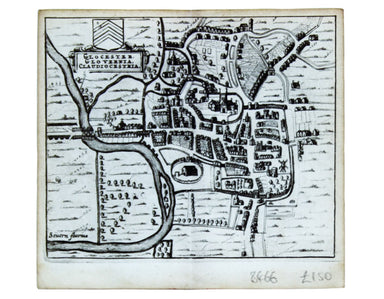
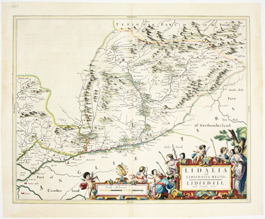
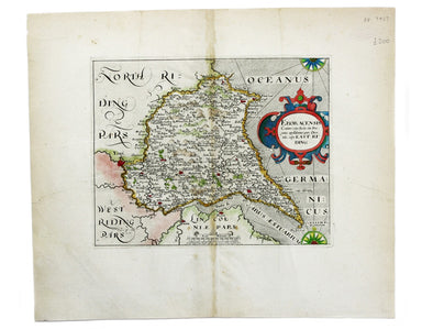
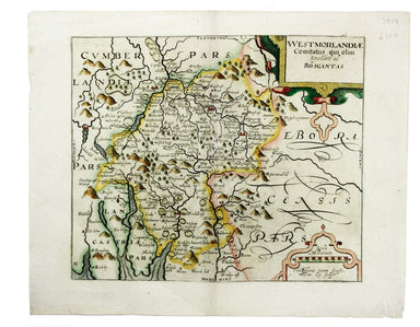
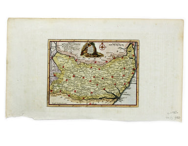
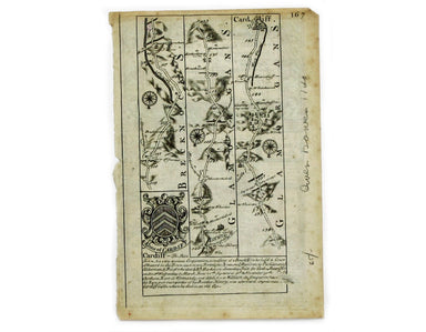
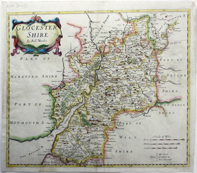
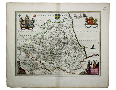
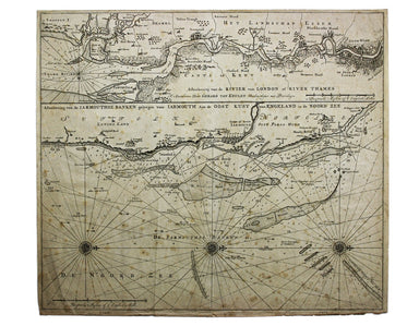
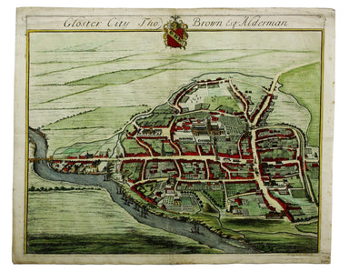
Hermannides’ Plan of Gloucester
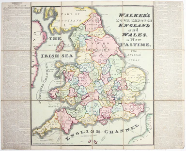
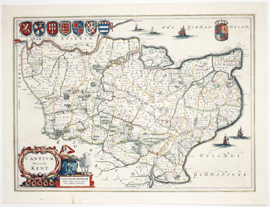
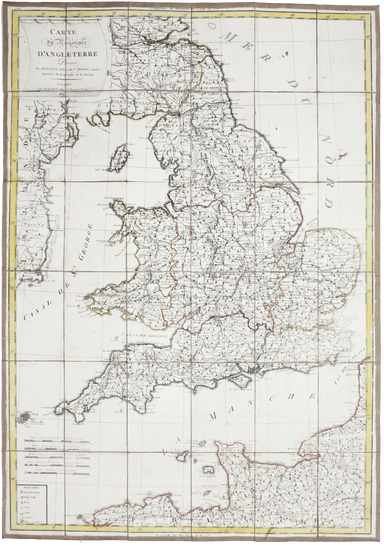
This map of Gloucester is from Hermannides' Magna Britannia. Nearly all of the plans are based on the small inset plans shown on John Speed's count...
View full details