£1,250.00
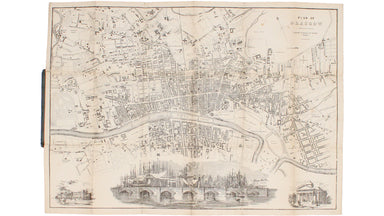
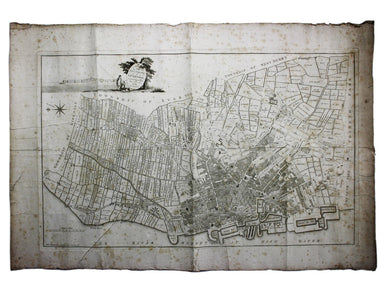
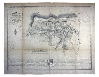
Nichol's Folding Map of Glasgow
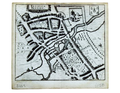
At the foot of this scarce map of Glasgow are three vignettes, including Glasgow Bridge, with the harbour in the background. Worldcat gives the lit...
View full details