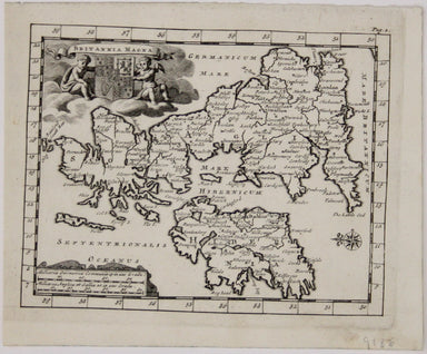
£125.00
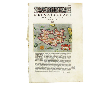
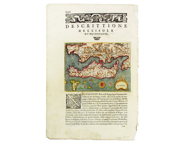
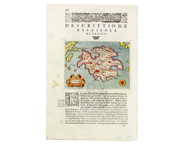
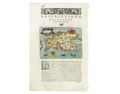
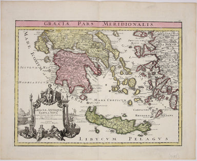
Porcacchi’s Map of Milos
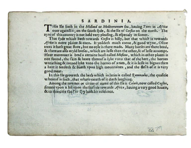
Milo (Milos) This map of Milos was engraved by Girolamo Porro and is set in descriptive Italian text with a woodcut headpiece and historiated initi...
View full details