£400.00
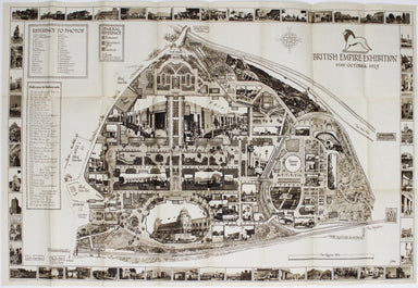
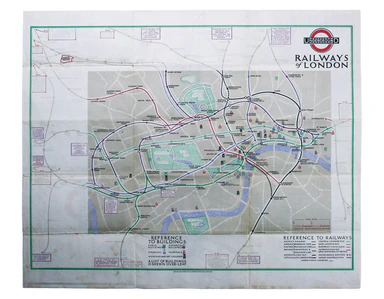
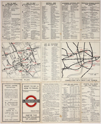
Betts' British Empire Exhibition Map
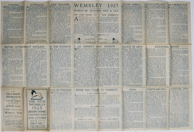
The British Empire Exhibition originally ran between April and November 1924, but it was not a financial success, and the decision was taken to reo...
View full details