£350.00
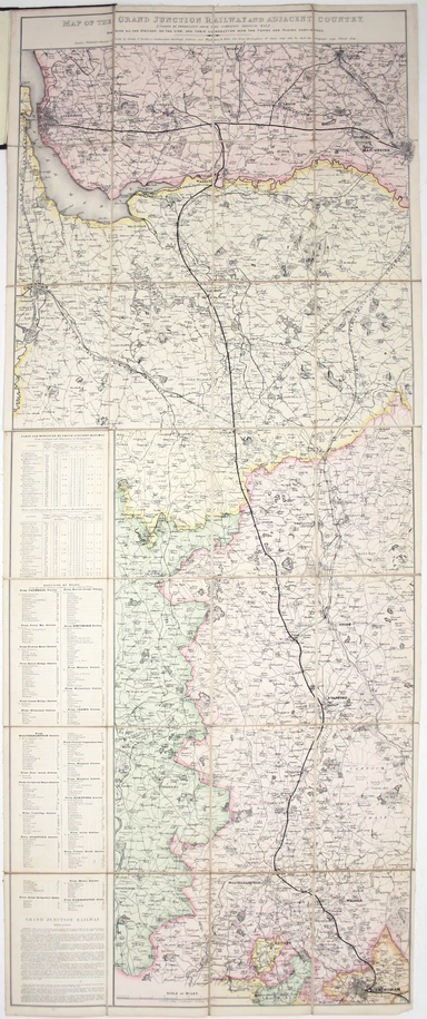
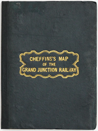
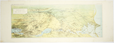
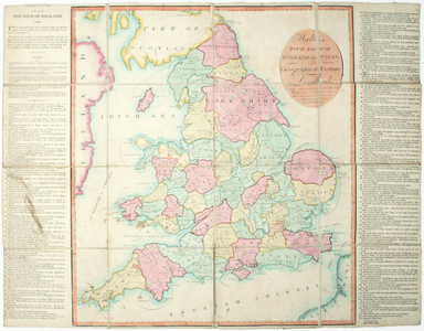
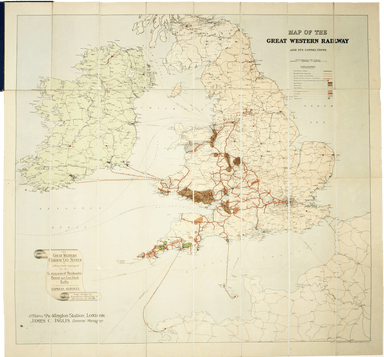
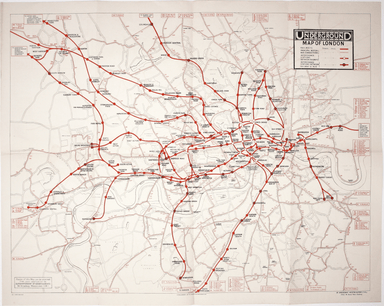
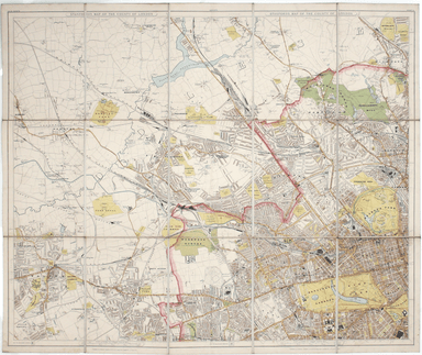
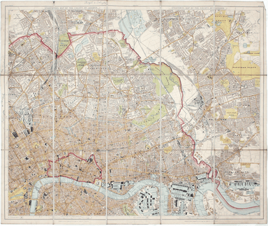
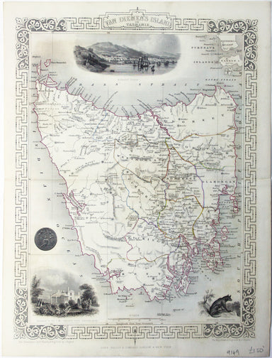
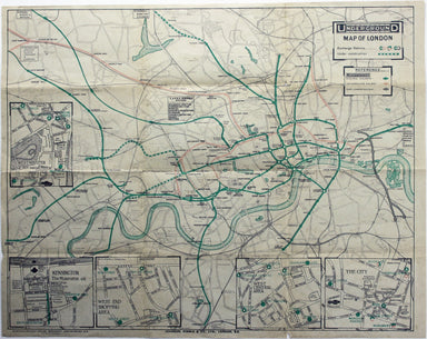
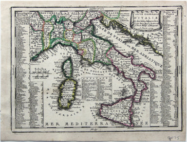
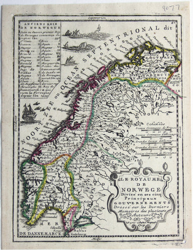
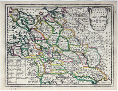
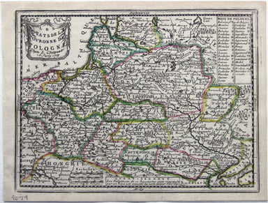
Cheffins’ Grand Junction Railway Map
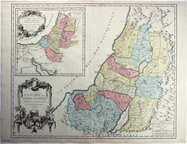
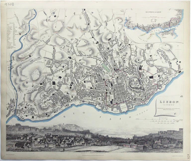
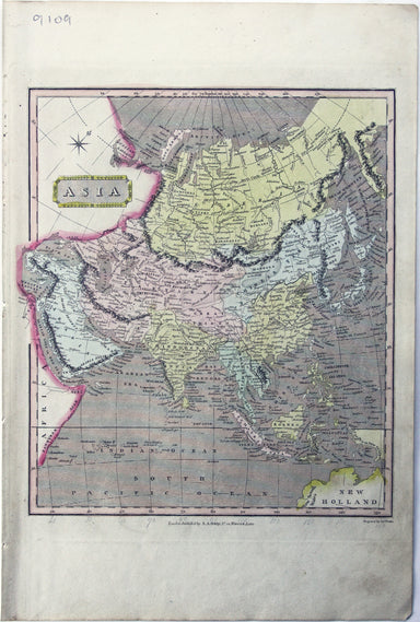
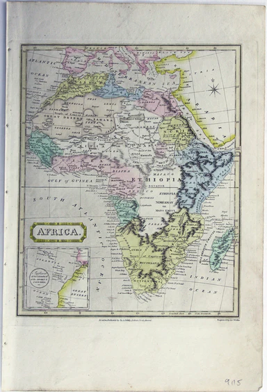
Map of the Grand Junction Railway and its Adjacent Country. [Copied by permission from the Company’s official map.] Shewing all the the stations on...
View full details