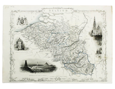
£350.00
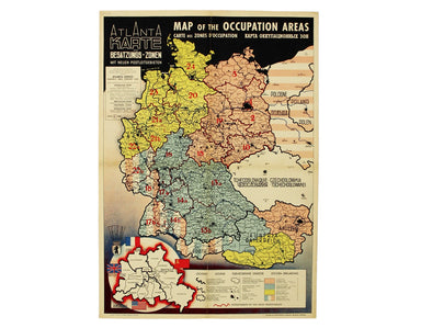
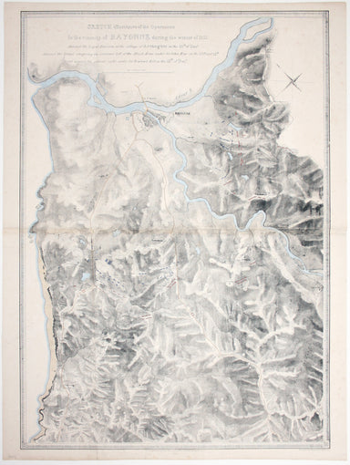
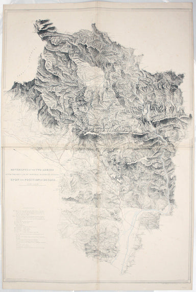
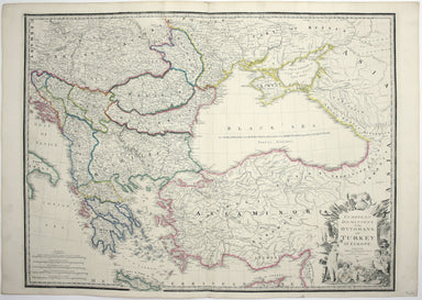
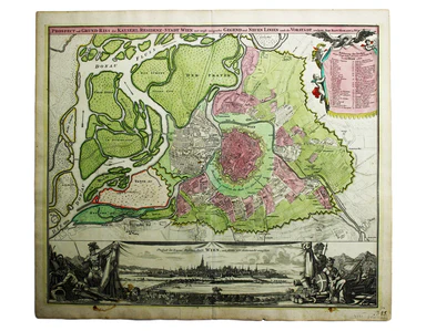
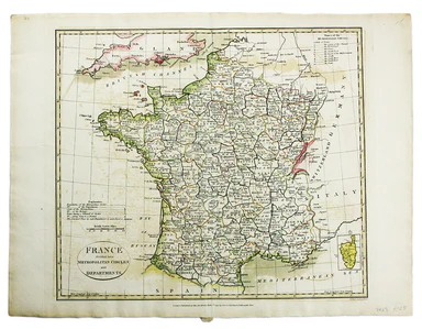
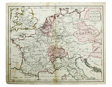
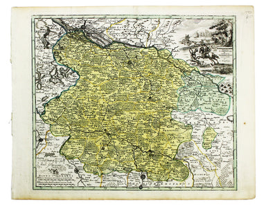
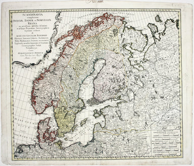
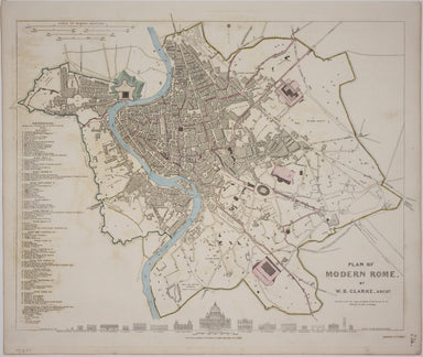
Map of Allied-Occupied Germany & Austria
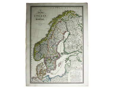
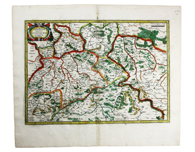
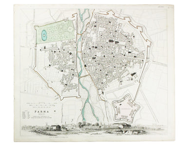
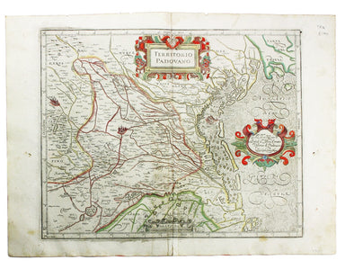
Map of the Occupied Areas / Carte des Zones d’Occupation / Karte der Besatzungs-Zonen mit Neuen Postleitgebieten / [in Cyrillic:] Karta Okkupacionn...
View full details